用于治疗 CABP、ABSSSI 和 SAB")
: FDA 批准首个治疗脂肪肝引起的肝脏疤痕的药物")


:世卫组织发布关于 LMM 治理的新指南")


 人体 MRI:使用 Iseult 项目的 11.7 特斯拉 MRI 成像的活体大脑")


 锂电池:带有二氧化硅纳米颗粒涂层的隔膜可提高安全性")
UK 太空 Agency will support two new projects. The first envisages using satellite to monitor and map heat in locations at greatest risk from 气候变化. Development of a prototype Climate Risk Index tool (CRISP) is the second project that is aimed at delivering risk assessments based on satellite and climate data to help the financial sector provide vital insurance products.
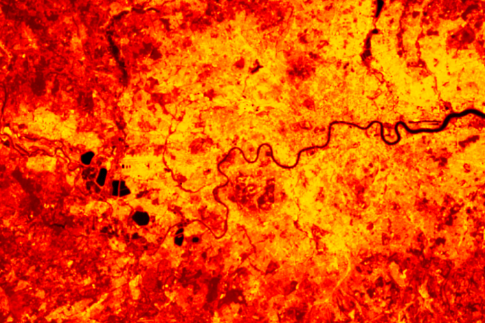
英国最新的气候预测表明,到 2018 年,像 2050 年这样的炎热夏季可能会每隔一年出现一次,届时如果不采取额外的适应措施,与高温相关的死亡人数可能会比今天的水平增加两倍以上; 从每年大约 2,000 个增加到大约 7,000 个。 按照目前的全球变暖水平,到 1.2 年,全世界约有 2100 亿人可能面临热应激条件。
在这种情况下,监测和测绘风险最大的位置的热量势在必行。 这是来自卫星的数据派上用场的地方。
英国 太空 Agency is going to support two new projects towards this that will provide decision-makers with vital information to help deal with the effects of 气候变化 and improve lives around the world.
第一个项目是国家中心之间的合作 地球 Observation (NCEO) and Ordnance Survey (OS), which will provide meaningful insights for policy-makers to manage the impacts of 气候变化 in 英国及其他地区的热点。使用从热红外传感器获得的 NCEO 地表温度数据 空间然后,操作系统将帮助客户了解并确定如何有效地应用数据。
地球 observation data used in the pilot will indicate extreme events and locations that may show greater risk to human health, such as cities where heat stress is a particular concern. By providing easier and better access to insightful evidence through the pilot and through working with the Office for National Statistics, the UK public sector will be able to tackle 气候变化 more effectively with accurate data from 空间.
Satellite observations of land surface temperatures, and their change, are increasingly recognised as being able to provide unique and detailed knowledge to better facilitate the understanding of 气候变化 and thus to inform planning and ‘climate-adaptive’ policies to deal with extreme events, such as heatwaves.
原型开发 气候风险指数工具 (CRISP) 这是英国的第二个项目 太空 Agency will support that will see Telespazio UK collaborate with Assimila. This project will deliver risk assessments based on satellite and 气候 data to help the insurance sector provide vital financial products to those at risk from droughts and wildfires.
使用来自气候项目模型集合、历史再分析和 地球 观察数据原型将重点关注两个例子——农业干旱和野火——向保险公司展示如何在自己的评估中使用这些数据,从而使金融部门受益。
CRISP 以 Space4Climate (S4C) 气候风险披露工作组的工作为基础。 S4C 工作提供了确定气候指数的基本技术能力——基于对极端气候事件和气候变化的一致识别 海平面 源自不同的长期数据记录 地球 观察和 气候 re-analysis datasets.
***
Sumber:
UK 太空 代理 2021. 新闻稿 – 太空 数据帮助 地球 adapt to challenges of 气候变化. Published 8 November 2021. Available online 点击此处


”是如何出现的?")